
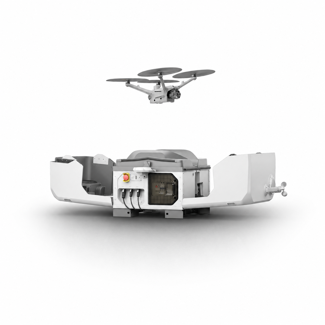
Large or rapidly changing sites can be difficult to document consistently from ground level. Quemic Airborne captures aerial imagery and spatial data across the operational area, providing teams with a broader and more detailed view of site conditions.Planned flight paths allow the same areas to be captured systematically, creating consistent datasets for mapping, terrain analysis, planning and ongoing site assessment.Captured imagery can be processed into mapping and terrain products that help teams understand site layout, elevations, distances and changes across an area. Drone mapping workflows commonly produce outputs such as orthomosaic maps, terrain models and 3D representations from aerial imagery.
Renewable energy infrastructure often operates in large, remote environments where routine inspections can be time-intensive and costly.
Quemic Airborne performs aerial inspections of solar farms and wind energy installations using thermal and high-resolution imaging technologies to identify performance anomalies, maintenance issues, and operational risks.
These inspections support maintenance teams in improving efficiency, reducing downtime, and maintaining asset performance.
Monitoring large conservation areas from the ground can be time-consuming and may leave parts of the environment difficult to observe or access. Quemic Airborne provides an aerial view across reserves, habitats and sensitive environments, helping conservation teams gather information over a wider area and investigate locations that may require closer attention.Planned aerial surveys can be used to document wildlife, assess habitats, monitor environmental conditions and build a clearer picture of changes across an area over time. Imagery, mapping and aerial observations can then support conservation planning and field operations
Monitoring large sites, public environments and sensitive areas from the ground can leave gaps in visibility, making it difficult to understand what is happening beyond the reach of fixed cameras or personnel. Quemic Airborne uses professional drones to provide a mobile aerial view across an operational area, helping teams observe activity, investigate areas of concern and gain clearer situational awareness from above. Flights can be planned for routine monitoring or deployed when additional aerial visibility is required, with visual, thermal and low-light imaging supporting operations across changing environments and lighting conditions.